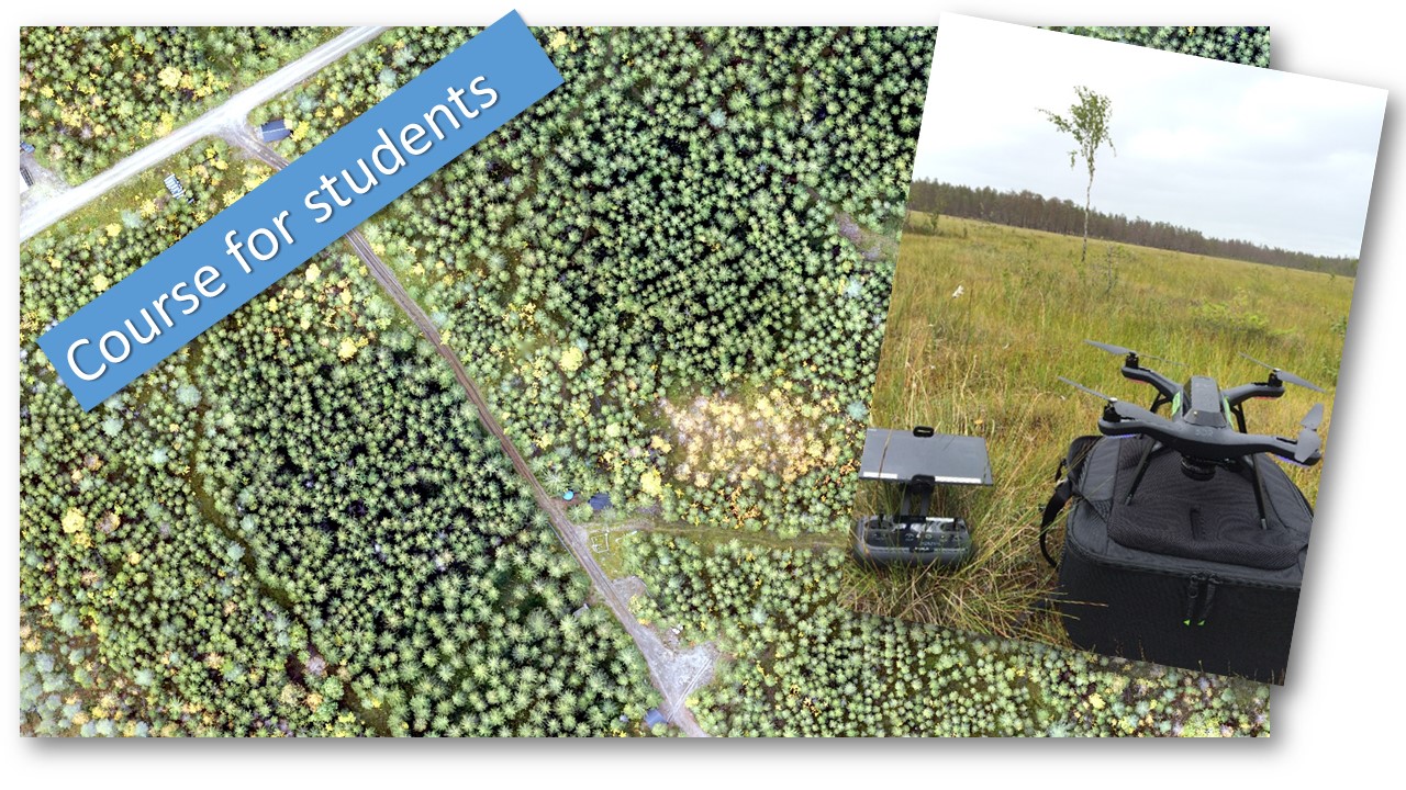
Now we continue with the second half of the course. The first part gave an overview of drone systems and regulations as well as drone flying and flight planning. Now we continue with processing collected images to geographic data, e.i. ortho images and 3D point clouds and then how those products can be transformed into forest data and the current use in forestry.
Schedule:
Wednesday 19th of September, 13 – 16 pm. Stereo-photogrammetry, production of ortho image mosaics and 3D point clouds.
Wednesday 26th of September, 13 – 16 pm. Estimation of forest variables and use of drone in forestry.
Applications to the course should be sent to jonas.bohlin@slu.se latest on September 18th. The amount of students on the course is limited and students how have taken the first part have priority.

