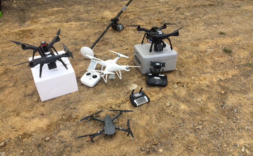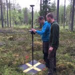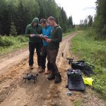
We decided to take our drones to the forest and test some cameras today. We flow two 3DR Solo; one with Parrot Sequoia and one with a new Escadrone SoloMapper (Sony QX1 camera) and two DJI drones; one Phantom 4 pro and one Mavic pro. This was done because we had a great opportunity to acquire data from four forest patches that has just been scanned with a good terrestrial laser scanner. The scans was multi-scans with 16 scans in a 8 x 2 grid. The point cloud from the laser could be used for evaluating the point clouds generated from the drone cameras.
We tried to fly slow (5 m/s) and with lots of overlap (90/90). Sadly we ran in to trouble with the new SoloMapper, it did not acquire more then 15 images and then the system stopped. This was the first time ever we tested the camera system on the drone so it was probably a installation error of ours. We switch camera to a Sony a5100 that we have used before but which doesn’t have a gimbal, so we got good quality images.
This data set, with four different cameras, would be perfect for some student to use for a project or thesis.


