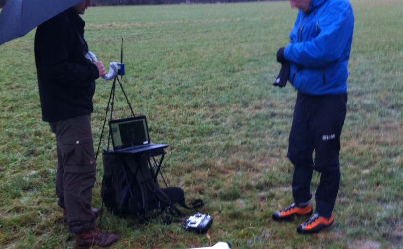
Today, the teachers and students of the Ljungberg lab, went to SLU’s new forest estate in Innertavle, close to Umeå. This forest is going to be used for teaching and research purposes. Our aim was to map it with a drone to get a high resolution orthophoto map and 3D data before the winter comes.
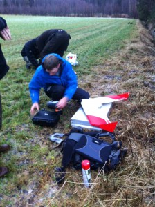
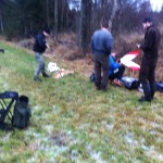
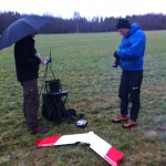
Mattias is fixing with the drone to get us in the air (in the background students making fire).
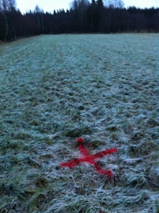
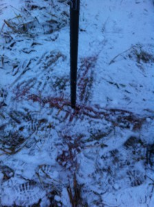
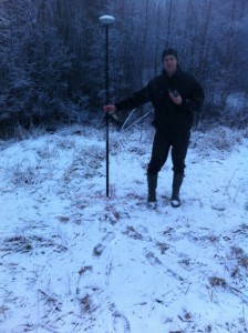
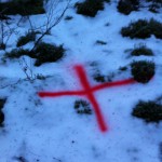
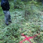
We sprayed red crosses, which are used for ground control points (GCP) to reference the images into the national coordinate system. These where to be positioned after the drone flight using a survey grade RTK-GNSS.
Unfortunately the winter came during the drone flight! Making it a very hard job to find the GCPs both when trying to position them and in the images when doing the image processing.
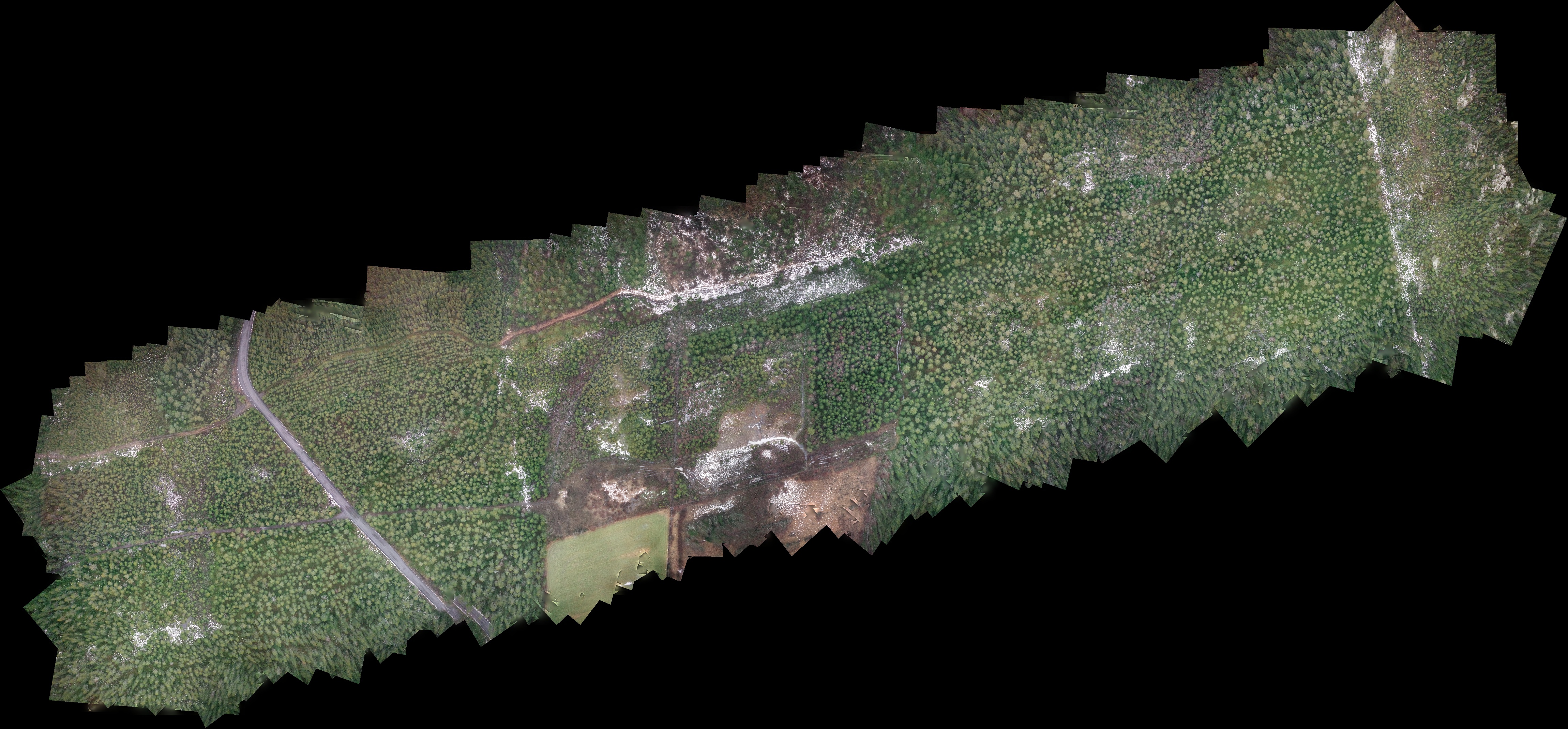
But we got some result! Here is a low resolution (GSD 29 cm) orthophoto of the eastern half of the estate (click image for full size). The final products will have better geometry and resolution.
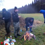
Thanks to the students who brought BBQ lunch for us all!
/Jonas Bohlin
Gallery:
